[source: ADDS]
METAR
CYOW 260400Z 06011KT 15SM FEW250 12/08 A3037 RMK CI1 CI TR SLP288 =
TAF CYOW 260240Z 2603/2624 05008KT P6SM SKC FM261200 07012KT P6SM FEW240 RMK NXT FCST BY 260600Z
TAF
TAF CYOW 260240Z 2603/2624 05008KT P6SM SKC FM261200 07012KT P6SM FEW240 RMK NXT FCST BY 260600Z =

TodayTomorrowDay after tomorrowYesterday

TODAY @ 14:00 EDT

New forecast available at these times (EDT) 04:05 10:00
How many hours ahead does the forecast predict? 12 6
 
The matrix above shows the times of day that new forecasts usually become available, and the forecast's corresponding projection timeframe. The six hour forecast should be more reliable than the twelve hour forecast because the data upon which it is built is newer.

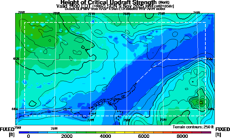
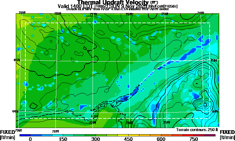
Thermal activity
Click for hourly animation. Updated 04:15 10:15

Click for hourly animation. Updated 04:15 10:15

Click for hourly animation. Updated 04:15 10:15

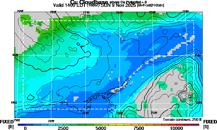
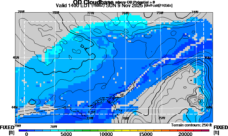
Clouds

Click for hourly animation. Updated 04:15 10:15

Click for hourly animation. Updated 04:15 10:15

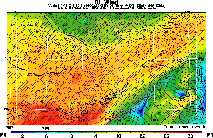
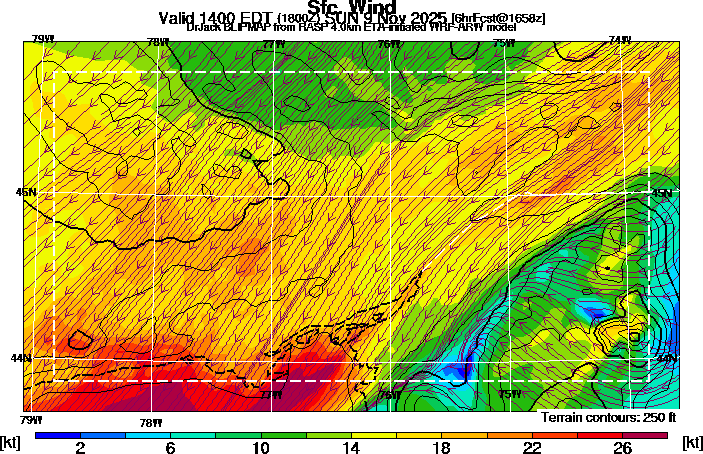
Winds

Caution. The units for wind are actually km/hour. Disregard the map scale showing knots.

Click for hourly animation. Updated 04:15 10:15

Click for hourly animation. Updated 04:15 10:15

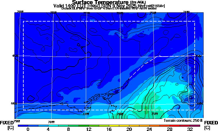
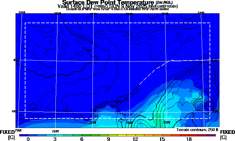
Temperature

Click for hourly animation. Updated 04:15 10:15

Click for hourly animation. Updated 04:15 10:15

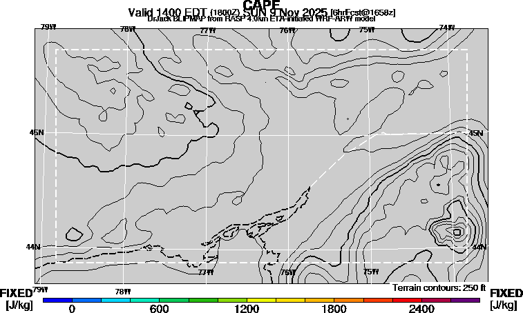
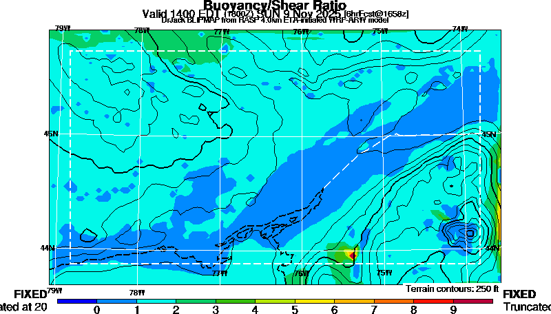
Thunderstorm potential

Click for hourly animation. Updated 04:15 10:15

TodayTomorrowDay after tomorrowYesterday